The Territory of the USA: From Continental Expansion to Modern Structure
The territory of the USA: how the borders of 50 states were formed, area, geography and structure of the world's third-largest country.

The United States of America is one of the world's largest countries, occupying an extensive territory in North America. The territory of the United States was formed over several centuries through processes of colonization, purchases, annexations and wars, resulting in the creation of a modern federal state consisting of 50 states and the District of Columbia.
Geographic location and general characteristics of the territory
The United States occupies a territory of 9.8 million square kilometers, making it the world's third-largest country by area after Russia and Canada. The main territory of the USA is located in the central part of the North American continent and extends from the Atlantic to the Pacific Ocean.
The country's territory includes the continental part (48 states), as well as the state of Alaska in the northwest of North America and the state of Hawaii in the central Pacific Ocean. The United States borders Canada to the north (border length of 8,891 km), Mexico to the south (3,141 km), and Alaska has a maritime border with Russia across the Bering Strait.
The country's coastline extends for 19,924 kilometers, washed by the waters of the Atlantic, Pacific and Arctic Oceans, as well as the Gulf of Mexico. The territory of the states spans six time zones, underscoring its enormous size and geographic diversity.
The United States is a federal republic, where each state possesses certain autonomy within a unified state. The capital of the USA is Washington, located in the District of Columbia on the eastern coast of the country.
Physical and geographic features of the territory
The terrain of the states is distinguished by exceptional diversity, including mountain systems, vast plains, plateaus and lowlands. On the eastern side of the country stretch the ancient Appalachian Mountains, whose height reaches 2,037 meters at the highest point—Mount Mitchell in North Carolina.
The central part of the mainland territory is occupied by the Great Plains and Central Plains, representing vast expanses with fertile soils. These plainland territories are the foundation of US agricultural production and extend from Canada to the Gulf of Mexico.
To the west rises the grandiose mountain system of the Cordilleras, including the Rocky Mountains, the Cascade Mountains and the Sierra Nevada. The highest point of the entire US territory is located in Alaska—Mount Denali (formerly Mount McKinley) at 6,190 meters.
The country's hydrographic network is represented by major river systems, including the Mississippi with its tributary the Missouri, which form one of the longest river systems in the world. To the north lies the system of the Great Lakes—the world's largest concentration of fresh water, including Lakes Superior, Michigan, Huron, Erie and Ontario.
Climate zones in the USA
The enormous extent of the territory accounts for the exceptional climatic diversity of the USA. The territory of the country presents virtually all climate zones—from arctic in northern Alaska to tropical in southern Florida and Hawaii.
Much of the continental territory is characterized by a temperate continental climate with clearly defined seasons. Eastern states are under the influence of a humid continental and subtropical climate, which provides sufficient moisture for agriculture.
Western territories are characterized by a more arid climate, especially in the southwestern states, where desert and semi-desert conditions predominate. The Pacific coast is characterized by a Mediterranean climate in California and a mild maritime climate in the northwest.
The American state is subject to various extreme weather phenomena. Central states are known for tornadoes, southeastern coasts suffer from hurricanes, and western territories periodically experience droughts and forest fires.
Natural resources and their distribution
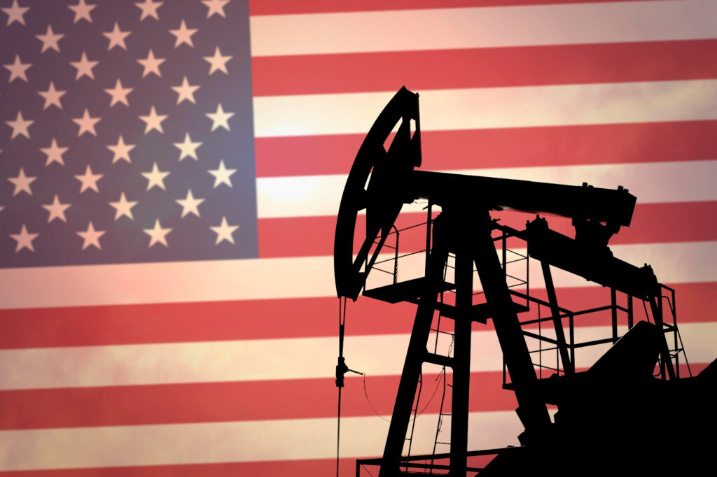
The territory of the states possesses rich deposits of mineral resources, which in many ways determined the country's economic development. Energy resources include major oil deposits (especially in Texas, Alaska and shelf zones), natural gas and coal.
Deposits of metal ores are distributed across the territory: iron ores in the Great Lakes region, copper in western states, gold in California, Alaska and Nevada. The country also has significant reserves of uranium, necessary for nuclear energy.
Forest resources cover about a third of the territory of the states, with the richest forests concentrated in the northwest of the Pacific coast, in the Appalachians and in Alaska. Water resources include not only surface waters of rivers and lakes but also significant reserves of groundwater.
The soil resources of the territory of the states are characterized by high fertility, especially in the Great Plains region, where fertile chernozem-like soils have formed. This gives the country a leading position in the world in agricultural production.
How the territory of the USA was formed: a history of expansion
The current territory of the United States is the result of a long historical process of territorial expansion that began with the formation of thirteen original colonies on the Atlantic coast. US independence was declared in 1776, but the young state's territory was limited to the eastern part of the modern country.
The first major territorial acquisition was the purchase of Louisiana from France in 1803, which doubled the country's territory and opened the path for western expansion. This process continued with the annexation of Florida (1819), the annexation of Texas (1845), the acquisition of Oregon (1846) and the receipt of vast territories from Mexico following the American-Mexican War (1848).
The purchase of Alaska from Russia in 1867 added the largest state by area to the territory. The annexation of the Hawaiian Islands in 1898 completed the formation of the main territory of the modern USA. The concept of "Manifest Destiny" ideologically justified Americans' right to settle the continent from ocean to ocean.
The process of developing new territories was accompanied by the construction of transcontinental railroads, a gold rush and massive migration of settlers to the west. Each new territory went through certain stages of development before acquiring the status of a state in the union.
Administrative divisions: states and federal territories
The modern composition of the USA includes 50 states and the District of Columbia, where the country's capital is located. The US Constitution establishes a federal system in which states possess considerable autonomy in deciding internal matters while maintaining unity on key national issues.
Each state has its own constitution, legislative and executive powers, however all states must comply with the federal constitution and laws. The US Congress has the right to admit new states to the union, which has occurred in stages as territories were developed and settled.
In addition to the main states, the USA also includes several territories with different legal statuses. Incorporated territories are those to which the US Constitution applies in full. Unincorporated territories, such as Puerto Rico, Guam, the US Virgin Islands and American Samoa, have limited autonomy.
The District of Columbia holds a special position as the seat of the federal government. It is not a state, but its residents have the right to vote in presidential elections and send a representative to Congress (without voting rights).
Population and its distribution across the territory

The population of the USA is more than 330 million people, making the country the third most populous in the world. However, the distribution of population across US territory is highly uneven—the greatest density is observed on the eastern and western coasts, as well as in the Great Lakes region.
The most populous states are California (about 40 million residents), Texas (29 million), Florida (22 million) and New York (19 million). At the same time, states such as Wyoming, Alaska and Vermont have populations of less than one million each.
The modern population of the USA is characterized by ethnic and racial diversity. White Americans make up about 72% of the population, African Americans 13%, Hispanics 18%, Asians 6%. These proportions are constantly changing due to migration and different birth rates.
Urbanization has embraced more than 80% of the country's population. The largest urban agglomerations are concentrated around New York, Los Angeles, Chicago, Houston, Philadelphia and other major cities. Internal migration processes lead to population growth in southern and western states at the expense of northeastern regions.
Largest cities and urbanized areas
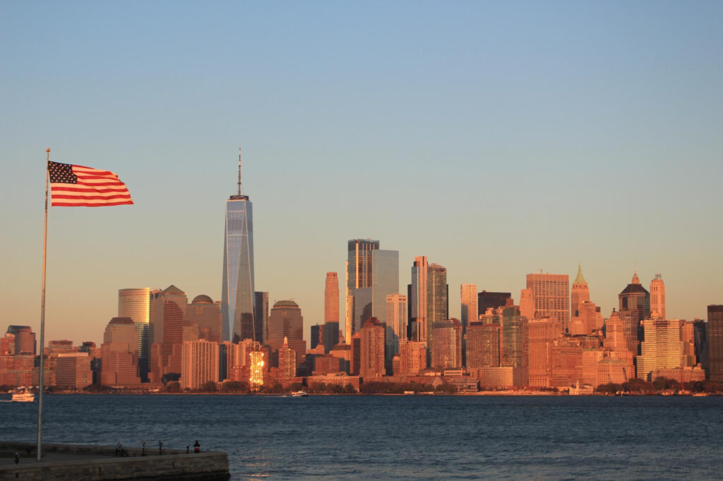
The urbanized territories of the states are represented by a system of large agglomerations and megalopolises, which are centers of the country's economic, political and cultural life. The largest urban agglomeration is the New York area, combining New York City with the surrounding region in the states of New York, New Jersey and Connecticut.
The Los Angeles agglomeration in California is the second-largest urbanized area, known as the center of the film industry and high technology. The Chicago agglomeration dominates the central part of the country, serving as a crucial transportation and industrial hub.
Of particular importance is the Northeast Megalopolis (BosWash), extending from Boston to Washington and including major cities such as New York, Philadelphia and Baltimore. This urbanized corridor concentrates a significant portion of the country's economic and political potential.
On the western coast, the California Megalopolis is forming, combining the agglomerations of Los Angeles, San Diego and the San Francisco Bay area. Rapidly growing urban zones in the south include the agglomerations of Houston, Dallas, Atlanta and Miami.
The process of suburbanization has led to the growth of suburban areas and the formation of extensive urbanized zones with low building density. This creates special requirements for transportation infrastructure and territorial planning.
Transportation system and development of the territory

The transportation system played a key role in developing the state's vast territory and continues to be critically important for the functioning of the country's economy. The construction of transcontinental railroads in the 19th century provided connections between eastern and western states, facilitating settlement and development of western territories.
The modern automobile network is represented by the system of federal Interstate highways, which connect all states and major cities. This system, created in the 1950s-60s, includes more than 75,000 kilometers of high-speed roads and provides efficient logistics across the entire country.
Railroad transport, although it has lost its dominant position in passenger transportation, remains a crucial element of freight logistics. Major railroad companies ensure the transportation of bulk cargo between regions, especially agricultural products and industrial raw materials.
Air transport provides connections between remote parts of the territory, especially with Alaska and Hawaii. The largest aviation hubs are located in Chicago, Atlanta, Los Angeles and New York, providing both domestic and international connections.
Maritime and river ports play an important role in foreign trade and internal transportation. The system of inland waterways, including the Mississippi and Missouri Rivers, the Great Lakes and the canals connecting them, provides economical transportation of bulk cargo.
Modern challenges of territorial management
Managing such an extensive and diverse territory creates multiple challenges for the US federal system. Regional differences in economic development, demographic trends and natural conditions require flexible approaches to territorial planning and interstate cooperation.
Environmental problems are becoming increasingly significant in the face of climate change. Western states face intensifying droughts and forest fires, eastern and southern regions experience more intense hurricanes and floods. Water resource management is becoming a critically important issue, especially in the arid western territories.
Demographic shifts, including aging populations in some states and growth in others, create imbalances in resource distribution and political representation. Internal migration from northern states to southern and western regions is changing the country's political map.
Infrastructure challenges include the need to modernize transportation systems, energy networks and utilities infrastructure. Ensuring equal access to modern services in remote and sparsely populated areas is particularly complex.
The federal system requires constant balance between federal powers and the rights of states. Coordinating policy in healthcare, education, environmental protection and security remains a difficult task given the differing priorities and resources of states.
Globalization and technological progress create new requirements for territorial development, including the need to develop digital infrastructure, support innovation clusters and ensure sustainable development of all regions of the country.
Conclusion
American territory represents a unique example of successful territorial development and management on a continental scale. From small colonies on the Atlantic coast to a modern superpower spanning territory from the Arctic to the tropics, the United States demonstrates the potential of a federal system in developing and organizing vast spaces.
The modern territory of the states unites 50 states with their unique natural conditions, historical characteristics and economic specializations. An efficient transportation system, with access to major cities and industrial centers, developed energy networks and flexible management system ensure the functioning of this territorial complex as a unified whole.
At the same time, managing such an extensive territory continues to present new challenges. Climate change, demographic shifts, technological transformations and environmental problems require constant adaptation of territorial policy. Success in addressing these issues will largely determine the country's future development and its place in the world in the 21st century.
The territory of the USA remains a dynamically developing space where the traditions of federalism combine with innovative approaches to territorial planning, creating a model that continues to attract the attention of researchers and practitioners of territorial development worldwide.


