Los Angeles Streets: A Complete Guide to the City's Major Thoroughfares
Los Angeles streets: how the transportation system of the metropolis is organized, iconic thoroughfares and their history.
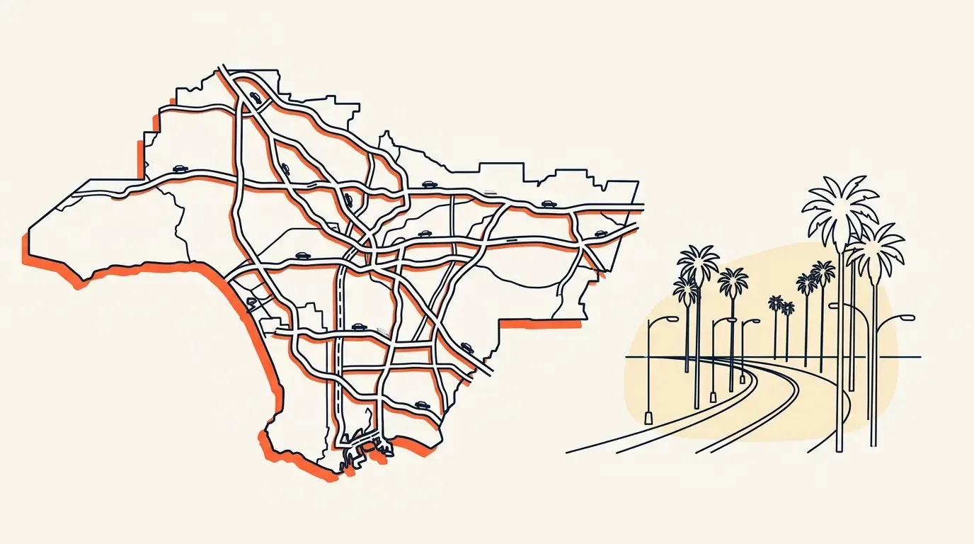
Los Angeles, the second-largest metropolis in the USA, sprawls across an area of more than 1,200 km². The city's thoroughfares, like arteries, run through this enormous organism, creating a unique transportation system that serves millions of residents and visitors daily.
Los Angeles streets form a complex and multifaceted system. They are not simply paved roads – they are history, recorded in names, architecture, and layout. From the historic center where the city was born to modern neighborhoods – each street has its own character and purpose within the overall infrastructure. Here each street tells its own story, and street after street new facets of the metropolis open up.
The significance of streets in the city's infrastructure
Unlike many other major cities in the world, L.A. initially developed as an automobile center. Its street network was formed with the growing importance of personal transportation in mind. Today it represents more than 7,300 miles of roads, organized in a clear system where main thoroughfares intersect at right angles, forming a characteristic grid of urban development.
General characteristics of the street network
The city's streets can be conditionally divided into several categories:
- Main thoroughfares – primary transportation arteries
- Boulevards – wide avenues, often with a median strip
- Avenues – roads of medium size, usually in residential areas
- Drives – winding routes, often in hilly terrain
- Local streets – small roads in residential blocks
The distinctive feature of the road network is its scale and thoughtful organization. Most routes are oriented by cardinal directions, which significantly simplifies navigation. At the same time, the system of house numbers and intersections is logical and consistent, making orientation easier despite the impressive size.
The history of Los Angeles streets
The formation of the first streets
The history of Los Angeles streets begins in 1781, when El Pueblo de Los Angeles was founded. The initial planning followed Spanish colonial laws, which mandated building settlements around a central square. The first road was Olvera Street, preserved to this day as a historical landmark.
By the early 19th century, the settlement was a small town with several dirt roads. The main routes of that time connected the central square with agricultural lands and nearby missions.
Stages of development of the road system
1850s: After California joined the United States, serious planning of city roads began. An initial grid appeared, many elements of which have retained their historical names to this day.
1880s: Railroad construction led to the first significant expansion. Around railroad stations, new districts formed with their own communication systems.
1920s: The beginning of the automobile era significantly influenced the development of the street network. The first wide boulevards, designed for automobile traffic, appeared. In the early 20th century, the State of California actively invested in transportation infrastructure.
1950s: The post-war construction boom led to the creation of a modern system of freeways and the expansion of existing roads.
The influence of automobile culture on layout
The city became one of the first metropolises fully adapted for automobile traffic. This led to several important features in the layout:
- Wide traffic lanes designed for intensive automobile flow
- A developed system of parking spaces along roads
- Clear hierarchy: from local roads to high-speed thoroughfares
- A thoughtful system of intersections accounting for high traffic intensity
By the end of the 20th century, Los Angeles streets had formed one of the most extensive urban transportation systems in the world. Contemporary development continues the traditions of automobile culture while adapting to new requirements for sustainable development and environmentally friendly transportation.
The organization system of Los Angeles streets
Principles of numbering
The numbering system is built on logical and consistent principles. The territory is divided into four sectors relative to the main coordinate axes: Main and First. From these axes, house numbers and cross-street counts are calculated:
- East and west of Main, numbers are accompanied by designations of "East" and "West"
- North and south of First, streets receive designations of "North" and "South"
- House numbers increase by 100 for each block
- Even numbers are on one side, odd numbers on the opposite side
Division into districts
Los Angeles is divided into several large districts, each with its own organizational features:
Downtown: The historic center with a classic grid of streets
Hollywood: A mix of straight boulevards and winding roads in hilly terrain
The Valley: Regular layout with wide avenues, known as the San Fernando Valley
Westside: A mixed system with diagonal roads
South Los Angeles: A clear rectangular grid
Navigation features
Navigation is facilitated by several key features:
- A consistent system of addressing with indication of direction (north, south, east, west)
- Clear hierarchy by importance and size
- Informative signs at intersections
- Color coding of signs for different types of routes
Types of streets
Boulevards: Wide avenues with multiple traffic lanes, often with a median strip. Examples: Sunset Boulevard, Wilshire Boulevard.
Avenues: Roads of medium size, usually with two-way traffic, often numbered (First Avenue, Second Avenue).
Drives: Often winding routes passing through hilly terrain or residential areas. Example: Mulholland Drive.
Streets: Regular city roads, often numbered (7th Street, 8th Street).
Roads: Often used to designate older or historical routes.
This comprehensive system of organization makes it possible to navigate effectively, despite the considerable size and complex layout. Understanding these principles is especially important for new residents and tourists planning independent travel.
Iconic streets of Los Angeles
Sunset Boulevard
Sunset Boulevard is one of the most famous thoroughfares, stretching 22 miles from downtown to the Pacific Ocean. This major artery reflects all the diversity of the metropolis:
- Echo Park – a bohemian neighborhood of Los Angeles with numerous cafes and galleries
- Sunset Strip – the legendary stretch with nightclubs and music venues, the heart of Los Angeles nightlife
- Beverly Hills – an upscale neighborhood with luxurious mansions
- Pacific Palisades – a picturesque ending at the ocean
This sunset is not just a road, but a symbol of the city. That said, it's worth visiting not only the main attractions, but also small neighborhoods where you can feel the true spirit of the metropolis.
Hollywood Boulevard
Hollywood Boulevard is a symbol of the American film industry. The main attractions include:
- The Walk of Fame with more than 2,600 stars
- Dolby Theatre (formerly Kodak) – venue for the Academy Awards ceremony
- Grauman's Chinese Theatre
- Hollywood and Highland Center shopping and entertainment complex
This artery became a symbol of the American Dream in hundreds of films. By the way, it is here that Madame Tussauds wax museum is located.
Rodeo Drive
The three-block section of Rodeo Drive in Beverly Hills is known as the center of luxury shopping. Rodeo Drive in Beverly Hills is famous for world-class shopping:
- Unique boutique architecture
- European atmosphere
- Historic buildings
- Fashion Walk – an equivalent to the Walk of Fame for the fashion industry
Glamor and luxury – that's what defines this neighborhood. Rodeo Drive became famous thanks to the movie "Pretty Woman" and other Hollywood films.
Wilshire
Wilshire is one of the main streets of the city, stretching 16 miles. Features:
- Museum district with LACMA (Los Angeles County Museum of Art) and other cultural institutions
- Miracle Mile – a historic shopping center
- Korean district – the center of Korean culture
- Numerous iconic skyscrapers
Venice Boulevard
Venice Boulevard connects downtown to the Venice Beach neighborhood, stretching along the Pacific coast. Characteristic features:
- A variety of ethnic restaurants
- Art galleries and studios
- Bike paths
- Access to the famous Venice Beach boardwalk
Mulholland Drive
The scenic mountain road Mulholland, running along the ridge of the Hollywood Hills. Features:
- Breathtaking views of the metropolis
- Numerous lookout points
- Access to hiking trails
- Celebrity residences
Mulholland Drive inspired David Lynch to create the cult thriller. However, many come here simply for the views of the sunset over the City of Angels.
Each of these thoroughfares is not just a transportation corridor – it is a reflection of different aspects of life, history, culture and character of the metropolis. They form a unique image and are included in the list of the most beautiful streets of Southern California.
Features of Los Angeles urban planning
Street grid
The layout is based on a rectangular grid system, which has several distinctive features:
- Orientation of most routes strictly by cardinal directions
- Standard size of city blocks – about 600 feet long
- Uniform distribution of main thoroughfares every mile
- Adaptation of the grid to natural terrain in hilly areas
Such an organization ensures a logical and predictable structure, despite the huge territory.
Sign system
A comprehensive navigation system is in place:
- Large signs at intersections with names
- Color coding of signs: blue for main thoroughfares, green for secondary ones, brown for historic districts
- Information boards indicating directions to major attractions
- Special signs for pedestrians in tourist areas
Traffic organization
The traffic management system includes several levels:
- Synchronized traffic lights on main thoroughfares
- Dedicated lanes for public transportation
- One-way traffic systems in central areas
- Special turning lanes at busy intersections
Special attention is paid to traffic management during peak hours, when additional traffic control mechanisms are activated.
The specificity of street location
Location takes several factors into account:
Natural terrain:
- Winding roads in hilly areas
- Straight thoroughfares in flat areas
- Switchbacks in mountain areas
Historical peculiarities:
- Preservation of old trade routes
- Integration of former streetcar lines
- Consideration of historical district boundaries
Functional zoning:
- Wide avenues in commercial zones
- Quiet roads in residential areas
- Industrial zones with convenient access to main thoroughfares
Contemporary layout is the result of a long evolution of the urban environment, where historical decisions are combined with modern requirements for organizing urban space. Despite its apparent complexity, the system is logical and functional, making navigation through the metropolis accessible to both residents and visitors.
Cultural significance of Los Angeles streets
Impact on popular culture
The city's main streets have become an integral part of world pop culture thanks to cinema and the music industry. Many songs and music albums are named after city streets, making them known around the world. The most famous routes are captured in film and music.
Historical events
The roads witnessed many significant historical events:
- Spring – the financial center of the early 20th century, known as the "Wall Street of the West"
- Broadway Theatre – the center of theatrical life in the 1920s-30s
- Olvera – the site of the founding of Los Angeles, which became a cultural center
- Wilshire and many others – witnesses to the development of America's automobile culture
Architectural features
The roads reflect the evolution of architectural styles:
Spanish colonial heritage:
- Missionary architecture
- Patios and arcades
- Terracotta roofs
Art Deco period of the 1920s-30s:
- Historic skyscrapers
- Theaters and movie palaces
- Decorative facades
Modernism of the mid-20th century:
- Commercial buildings
- Automobile architecture
- Innovative design
The role in city development
The thoroughfares played a key role in shaping the modern appearance:
Economic development:
- Formation of commercial corridors
- Creation of business districts
- Development of tourist zones
Social significance:
- Public gathering places
- Centers of cultural life
- Spaces for city festivals
Cultural identity:
- Ethnic neighborhoods
- Art districts
- Historical landmarks
Roads are not just transportation arteries – they are living history, reflecting cultural diversity, economic development and social change. They continue to play an important role in shaping the identity and its perception around the world. The most interesting routes attract millions of tourists every year.
Practical information
Navigation through the city
For effective travel, it is important to consider the following features:
Basic navigation rules:
- The Pacific Ocean coast is always to the west – this is the main landmark
- Mountains are located to the north and east
- House numbers increase when moving away from the center
- Most main thoroughfares intersect at right angles
Using navigation apps:
- Be sure to consider the time of day and road congestion
- Check for alternative routes
- Monitor updates about road work
Peculiarities of travel
When planning trips, consider:
Peak hours:
- Morning: 7:00 AM – 10:00 AM
- Evening: 3:00 PM – 7:00 PM
- On weekends traffic is lighter
Parking:
- Carefully read parking signs
- Use city parking structures
- In popular areas it is better to book a spot in advance
Public transportation:
- The Metro connects major districts
- Bus routes cover most roads
- TAP card system for payment
Useful tips
Recommendations for comfortable travel:
Route planning:
- Always allow extra time for the journey
- Have a backup route
- Check for information about special events
Safety:
- Follow traffic rules
- Be careful at pedestrian crossings
- At night, choose well-lit roads
Additional recommendations:
- Keep a map of the area with you
- Save important addresses and phone numbers
- Monitor the weather forecast
Special situations
When traveling, consider:
Special events:
- Sports events can affect traffic
- Movie premieres often close roads
- Holiday parades change traffic patterns
Weather conditions:
- Rain can significantly slow traffic
- On hot days, plan your route considering shaded areas
- Monitor air quality during fire season
Effective travel requires planning and understanding the features of urban infrastructure. By following these recommendations, you will be able to move around as comfortably and safely as possible.
Conclusion
The uniqueness of Los Angeles streets
The roads represent a unique system that reflects the multifaceted nature of this metropolis. Their features were shaped by various factors:
Historical development:
- From Spanish settlements to the modern metropolis
- Evolution of the transportation system
- Preservation of cultural heritage
Geographic location:
- Adaptation to natural landscape
- Consideration of climate features
- Connection of the coast with interior areas
Cultural diversity:
- Ethnic neighborhoods and their characteristics
- Influence of various architectural styles
- Diversity of urban life
The role in shaping the appearance of the city
The thoroughfares play a key role in creating identity:
Social significance:
- Sites of public activity
- Centers of cultural life
- Spaces for communication
Economic impact:
- Development of business districts
- Formation of commercial zones
- Tourist attractiveness
Cultural heritage:
- Preservation of historical memory
- Reflection of urban legends
- Source of inspiration for art
Roads are not just transportation arteries, but a living organism reflecting history, culture and spirit. They continue to evolve with the metropolis, adapting to new needs of residents while preserving their unique identity. From historic Olvera Street to modern Wilshire, each route tells its part of the story of the City of Angels.
Understanding the system is the key to knowing the metropolis itself. It is a complex, but logical structure that makes the territory accessible and understandable for both residents and visitors. In this diversity of roads and boulevards is reflected the very essence of the city – a city of contrasts, opportunities and endless development. Here is an abundance of attractions: from the palms of Santa Monica to Universal Studios, from the beaches of Malibu to West Hollywood. The palm is a symbol of this coast, which adorns the most beautiful streets. Los Angeles is the embodiment of the spirit of dreamers who strive to conquer this amazing city. Even Wikipedia cannot convey all the nuances – it is better to see the streets with your own eyes, feel the atmosphere of each street, understand why exactly these streets are on the list of the most famous, and feel the magic of each new street.